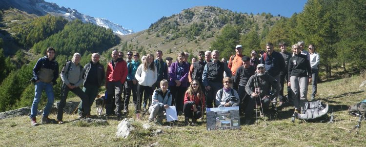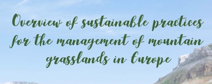
Mountain grasslands: OREKA MENDIAN’s report and recommendations out!
In October 2021, the EU LIFE project OREKA MENDIAN published its final report “Overview of sustainable practices for the management of mountain grasslands in Europe”. Opened by Herbert Dorfmann, Member of the European Parliament, the report investigates the current state of mountain grasslands throughout Europe and provides a set of practices and recommendations that can ensure the